The Long Reckoning

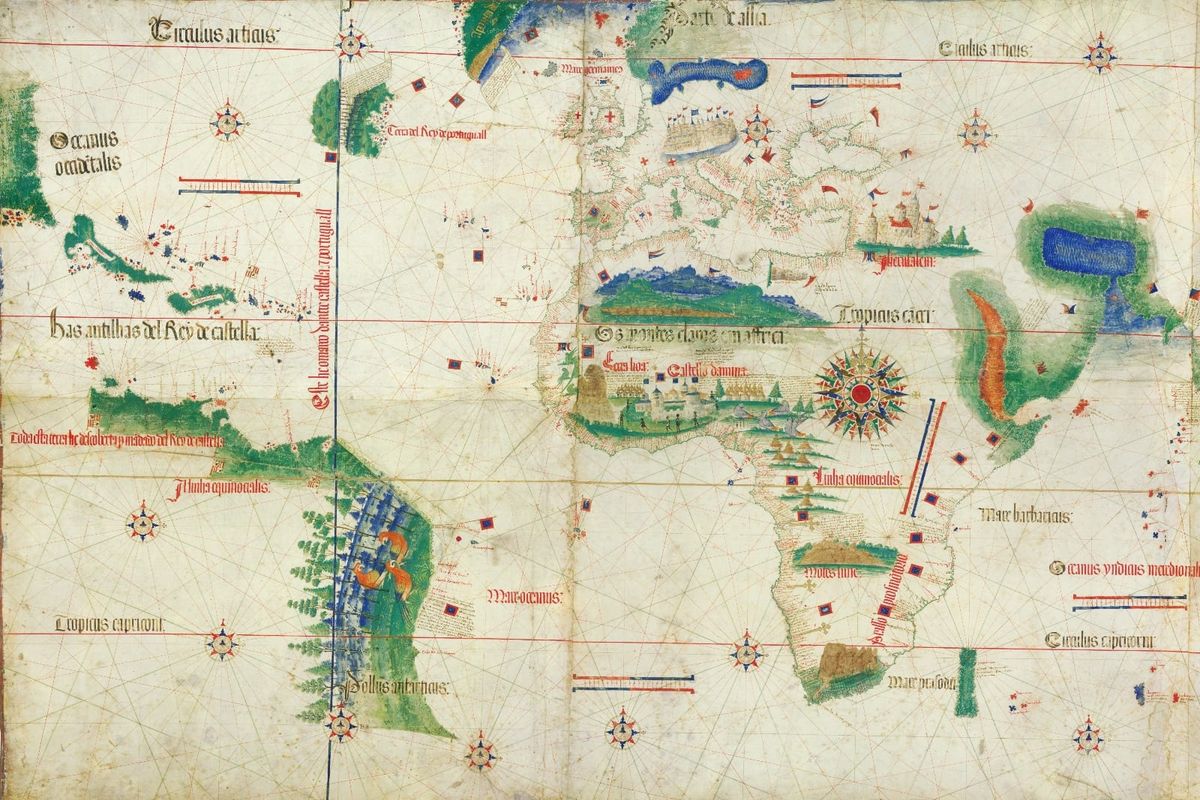
Badajoz, April 1524. The finest navigators and cosmographers of Spain and Portugal gathered in a frontier town on the banks of the Guadiana River to settle a dispute that had been accumulating since Columbus returned from the Caribbean. The question before them was, in principle, simple: on which side of the meridian established by the Treaty of Tordesillas did the Moluccas fall? The Spice Islands, as every man in that room understood, were worth an empire.
Each crown had assembled a delegation to match the stakes. Spain's plenipotentiaries were led by Mercurino de Gattinara, Grand Chancellor of the Empire and the most powerful minister in Charles V's government. Their technical committee was something close to a roll call of contemporary geography: Hernando de Colón, son of Christopher Columbus and keeper of his father's papers; Juan Sebastián de Elcano, who had brought Magellan's fleet home after Magellan himself died in the Philippines three years earlier; the cartographer Sebastian Cabot; and Diogo Ribeiro, a Portuguese cosmographer who had crossed to the Spanish service and brought his chart-making expertise with him. Portugal countered with its own negotiators and the official royal cartographer Lopo Homem alongside navigators who had sailed the very waters in dispute.
They laid out their charts, they argued over calculations, and they produced conflicting figures for the same distances. The conference met repeatedly at Badajoz and across the river at Elvas and ended without agreement because no method existed by which either delegation could accurately fix the longitude of the Moluccas.
The world had been divided on paper, but nobody could draw the line on the ocean.
Badajoz had demonstrated what individual expertise, however formidable, could not resolve. Governments would spend the next century and a half trying a different approach: beyond assembling the best minds in a room, they would be offering money to whoever could solve the problem and building the institutional machinery to judge what came back.
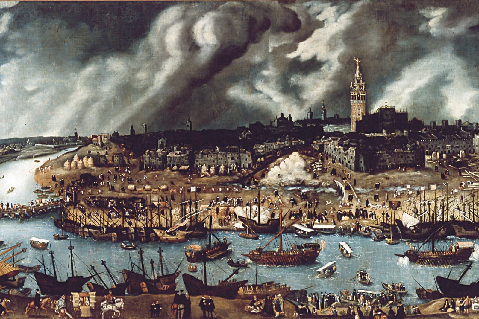
Spain moved first. In 1567, King Philip II offered 6,000 ducats to anyone who could provide a practical and reliable method of finding longitude at sea. In today's terms, calculated from the gold content of the Spanish ducado, that sum was worth approximately $3 million. It was far from an impulsive gesture. Philip's empire stretched from the Philippines to Peru, and its maintenance depended on safe oceanic passage in both directions. The Casa de la Contratación, the House of Trade in Seville, was already the institutional centre of Spanish maritime knowledge: it held the charts, trained the pilots, and assessed the instruments on which Spanish navigation depended. The Casa became the evaluating body for longitude proposals, working through the Consejo de Indias. This was a meaningful institutional commitment, not merely the announcement of a reward, but the assignment of a professional apparatus to judge what it received.
Portugal's institutional parallel was the Casa da Índia, founded by King Manuel I in 1500 as the culmination of a series of administrative houses stretching back through the Casa da Mina of 1482 and the Casa da Guiné of 1443. It centralised the management of royal trading monopolies and overseas administration, while technical functions, the production of nautical instruments and the training of pilots, were distributed across the Armazéns da Guiné e Índia. The two Iberian systems were more closely matched than the historical record now suggests. That record was catastrophically narrowed on the first of November 1755, when the Lisbon earthquake and the fires that followed destroyed the Ribeira Palace and with it the Cartorio of the Casa da Índia. The Padrão Real, Portugal's official master chart, a living document updated continuously as new discoveries were made and used as the template for all maps carried on official expeditions, was reduced to ash. Roughly seventy thousand volumes from the Royal Library went with it.
What survives of Portugal's early maritime science survives because it was copied or held elsewhere: the Cantino planisphere, smuggled out of Lisbon in 1502 and now in Modena, is the most celebrated example. The relative thinness of Portugal's presence in the longitude prize literature reflects this destruction as much as it reflects any difference in institutional commitment to the problem. Richard de Grijs's prize series, which forms the principal scholarly foundation for this essay, works necessarily from surviving documentation. Where documentation was destroyed, the story cannot be told with equivalent granularity, and the Portuguese contribution to this history remains, in ways that cannot now be fully recovered, undercounted.
When Philip III succeeded in 1598, the Spanish commitment was restructured as a financial instrument rather than a simple bounty. The new package offered 6,000 ducats as a lump sum for the discovery, a life annuity of 2,000 ducats per year, and an expense allowance of 1,000 ducats for development and trials. The upfront sum alone, some three and a half million dollars by today's reckoning, came with the additional promise of roughly a million dollars annually in perpetuity. This represented a sustained financial relationship with whoever solved the problem, instead of just a payment for a moment of invention.
The proposals arrived from across Europe. Most applicants were Spanish, but two came from abroad: Michel Florent van Langren from Flanders, and Galileo Galilei from Tuscany. The solutions they offered fell into the categories that would dominate longitude thinking for the next century and a half, namely magnetic declination, lunar distances, and celestial mechanics. None of the magnetic declination proposals survived sea trials. The Earth's magnetic field was too variable and too poorly understood.
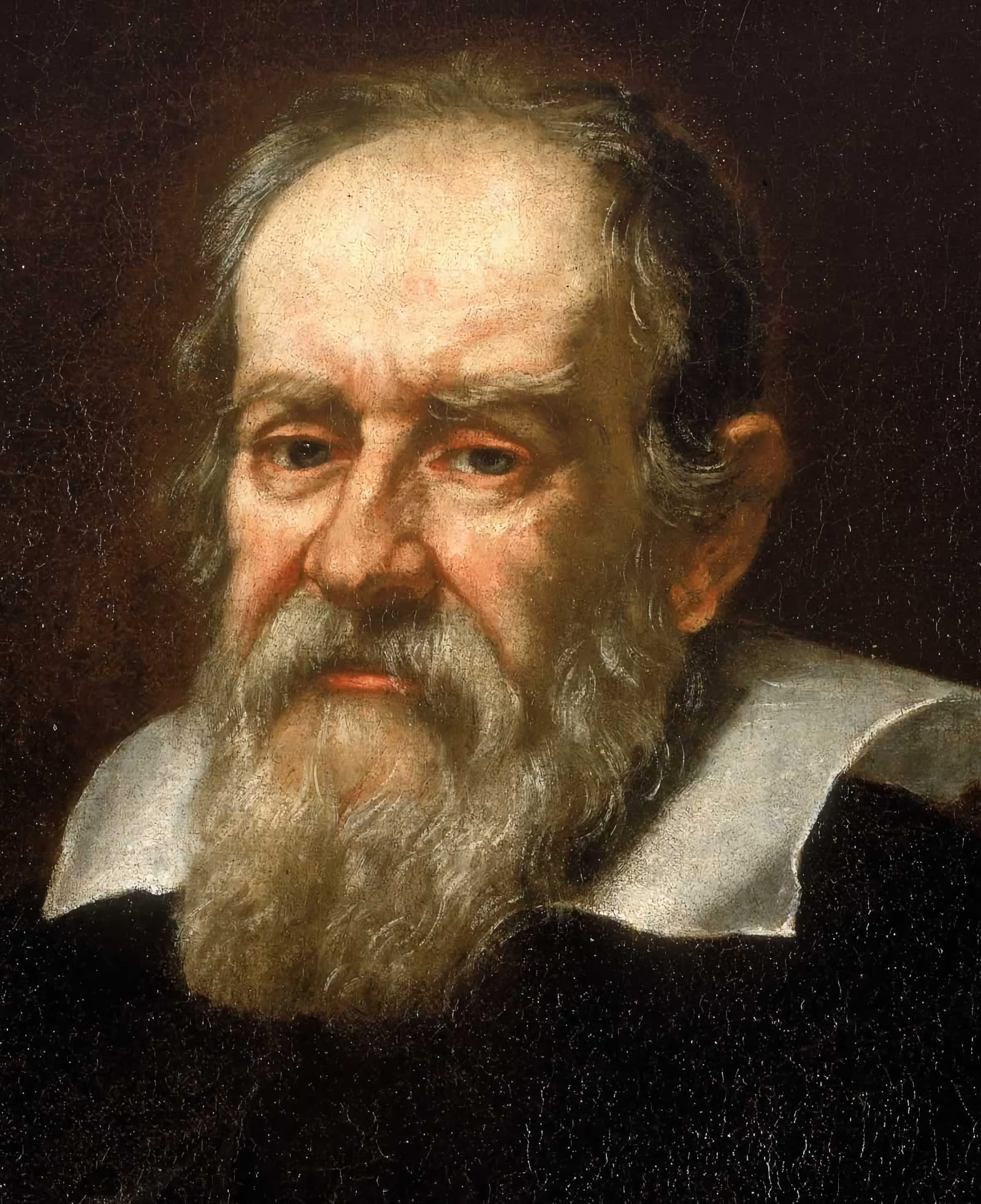
Galileo's proposal was different in kind. In 1610, he discovered the four large moons of Jupiter and observed that they orbited the planet in periods of a few days each. The eclipses and transits of these moons were predictable far in advance. A navigator who could observe a Jovian eclipse and compare its local time against tabulated predictions for a reference meridian would obtain the time difference that longitude required. Galileo described his method to the Florentine ambassador in Madrid in 1612. The Spanish took six years to evaluate the idea and concluded it was unworkable at sea.
They were not wrong. A telescope trained on a planet from the deck of a ship produced an image too unsteady for reliable eclipse timing. Galileo spent years trying to solve the practical problem. He designed the celatone, a telescope mounted on headgear intended to compensate for a navigator's body movement. He designed the jovilabe, an analogue calculator for computing the positions of Jupiter's satellites. He proposed an oleodynamic suspension, a pool of oil on which a hemisphere floated, to isolate an observer from the ship's motion. None of these solutions worked well enough for the open ocean.
Interest in the Spanish prize declined after the mid-1630s. The machinery had run for nearly seventy years without paying a full award. It had, however, attracted the best minds in Europe to a specific technical problem, generated a taxonomy of possible approaches, and established the institutional model of government prize, professional assessment, and sea trials that every subsequent longitude initiative would follow.
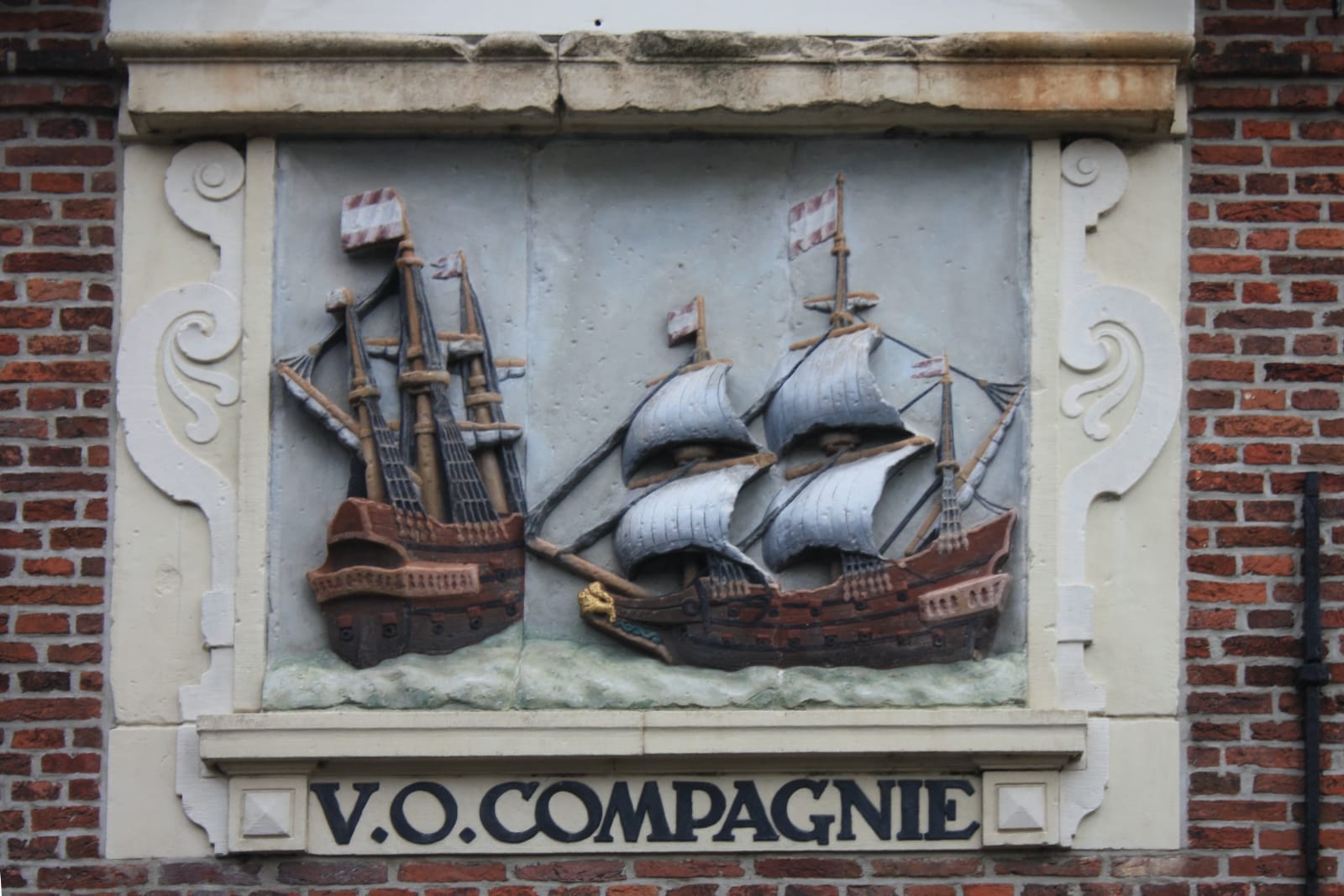
The Dutch Republic was watching. The States General of the United Provinces announced their own prize on 1 April 1600: five thousand guilders plus a life annuity for a workable longitude method. At today's purchasing-power values, that initial offer was equivalent to around $300,000, more modest than Spain's prize in absolute terms but backed by a commercial machine of extraordinary scale. The Dutch Republic had recently chartered the Vereenigde Oost-Indische Compagnie, the United East India Company, known by its initials as the VOC. Founded in 1602, the VOC was the world's first publicly traded joint-stock corporation, operating a fleet that would eventually number over 150 ships, employing tens of thousands of people across Asia, and holding a monopoly on the spice trade between the Cape of Good Hope and the Straits of Magellan. For the VOC, a ship lost to navigational error was not an abstraction. It was a cargo of nutmeg, cloves, or silk that never returned. Precision in position-finding was a commercial priority before it was a scientific one.
Petrus Plancius, the cartographer and minister who had been pressing the government toward practical navigation science, and Simon Stevin, the engineer and mathematician, both pushed for the initiative. The Dutch understood what the Spanish had already demonstrated: the longitude problem would not yield to individual genius working in isolation.
What the Dutch Republic added to the model was a more distributed assessment structure. The Spanish had entrusted evaluation to a single professional body. The Dutch involved a broader network of stakeholders, including skippers and practical navigators alongside mathematical experts, reflecting Dutch commercial culture: those who would use a longitude method in practice should have a voice in judging its practicality.
A year after the States General announcement, the provincial States of Holland and Westfrisia launched their own parallel prize. The tiers were explicit: 150 guilders for a written explanation ready for sea trial, 3,000 guilders for demonstrated practicality attested by six to eight experts, and an annuity of 1,000 guilders for sustained maritime reliability. The prize was not a single payout but a graduated investment in workable solutions, calibrated to reward partial progress.
The Dutch prize escalated continuously. The States General raised their reward to 15,000 guilders in 1611, worth roughly $900,000 today. By 1660, the figure had risen to 25,000 guilders, or about one and a half million dollars. By 1738, the States of Holland were prepared to pay 50,000 guilders, a sum approaching two million dollars in current terms. Nearly forty proposals were submitted over the prize's lifetime, from applicants spanning the Holy Roman Empire, France, and the Republic itself.
The most consequential applicant, once again, was Galileo. Having failed to convince Spain, he turned to the Dutch in 1636. The States General received him warmly and rewarded him with a gold chain. Their technical committee reached the same conclusion as the Spanish one had. The moons of Jupiter could not be reliably observed from the deck of a ship. Galileo died in 1642 without completing a sea clock with a pendulum; his son Vincenzo built a model in 1649, but the design was never tested at sea.
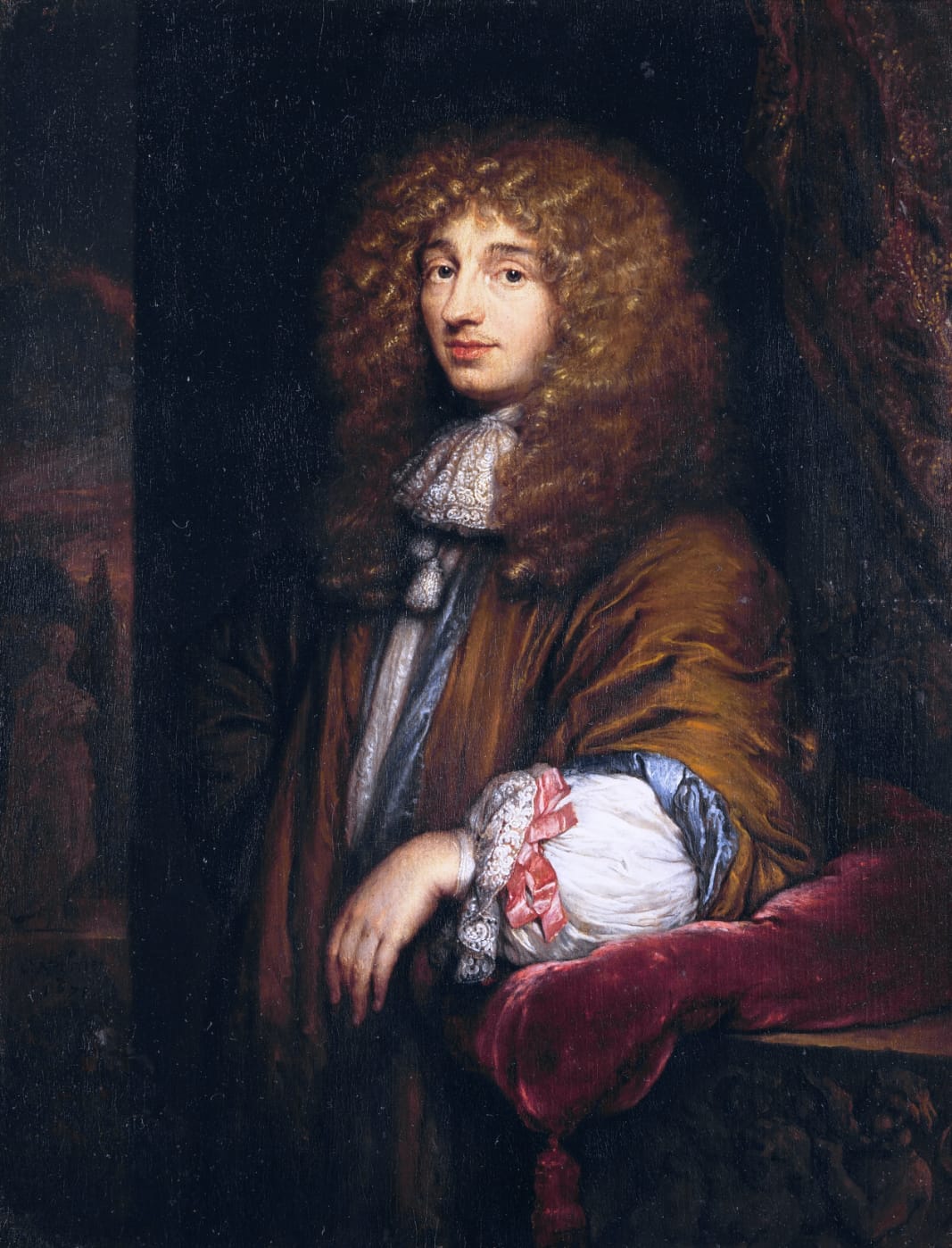
Christiaan Huygens, who patented the pendulum clock in 1656, carried both the promise and the limitation of the Dutch programme into the second half of the seventeenth century. His clocks represented a genuine revolution in the precision of land-based timekeeping. At sea, they performed inconsistently. The pendulum is sensitive to gravity, to motion, to temperature, and a ship under sail provided all three in abundance. Huygens arranged for clock experiments aboard VOC voyages to the Cape of Good Hope in 1686-87 and was rigorous enough to analyse the results carefully. When the clock data seemed to route his ship straight through Ireland, he introduced a correction based on the variation of gravity with latitude, a calculation that placed him in direct intellectual conflict with Isaac Newton. Huygens held that gravity varied with latitude solely as a consequence of the Earth's rotation. Newton's theory of universal gravitation predicted a larger variation. This dispute ran through the late seventeenth century alongside the longitude question, the two problems entangled in ways that illuminate how closely observational navigation science and theoretical natural philosophy were bound together in this period.
The Dutch application volume declined after about 1775. The prize had run for 175 years. It had not produced a winner, but it had sustained a continuous European conversation about the problem, funded relevant experiments, and kept the question institutionally alive through periods when it might otherwise have lapsed.
One longitude prize has no history, only a rumour.
Modern surveys of the field frequently include a Venetian prize among the major initiatives of the seventeenth century. The evidence for it consists of a single hostile reference, made in 1696 by Edward Harrison in a pamphlet criticising the conditions attached to an alleged Venetian reward. Harrison's reference simultaneously disparages the Dutch prize, which had by 1696 been running for nearly a century, thereby rendering the source unreliable from the outset. No pamphlets from longitude applicants mention Venice. No archival trace of a formal Venetian prize has been identified. The city's maritime fortune was in decline through the seventeenth century, and Venetian navigators operated primarily on the Adriatic and the Mediterranean, where excellent portolan charts made the open-ocean longitude problem considerably less urgent than it was for the Atlantic and Indian Ocean powers. The Venetian prize belongs, in all likelihood, to the category of phantom prizes: referenced confidently enough to propagate, but without the documentary foundation that every other major longitude initiative left behind.
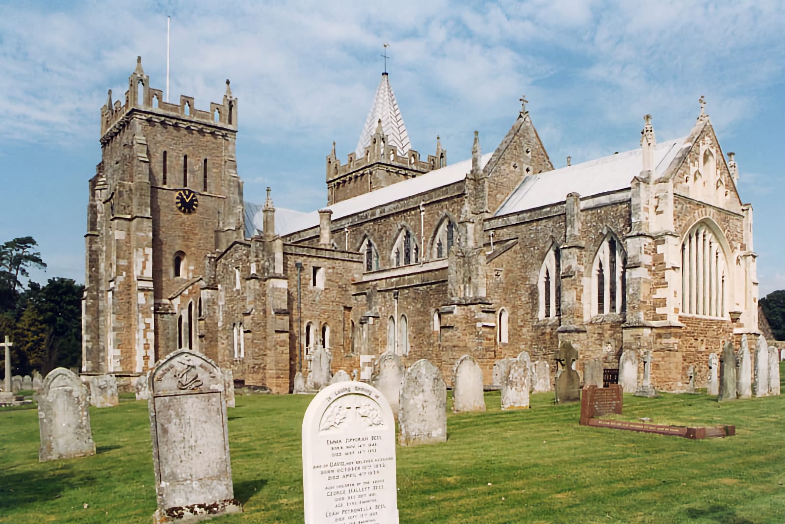
Before the British government acted, a private Englishman acted first, and the conditions he attached to his prize would shape the legislation that followed.
Thomas Axe was born in 1635 in Orchard Portman, Somerset, and spent his working life as the parish clerk of Ottery St. Mary in Devon. He had a solid mathematical education and maintained connections with Fellows of the Royal Society, among them Robert Hooke and Edmond Halley. He had no maritime career, no connection to instrument making or celestial mechanics. He was a parish clerk who understood that the longitude problem was real, that it was killing people, and that the English government had not yet done what Spain and the Dutch Republic had done a century before.
In 1691, Axe bequeathed £1,000 in his will toward a longitude prize, equivalent to something over four hundred thousand dollars today, to be awarded to anyone who could determine longitude at sea to better than half a degree using methods accessible to navigators of ordinary capacity. The accuracy threshold was demanding and specific. The conditions he attached to the prize were extraordinary: an applicant would need to conduct successful voyages with twenty different ship masters, obtain twenty favourable affidavits from those masters, satisfy four professors at Oxford and Cambridge that the method was sound, and swear further affidavits before the Twelve Judges of England. The prize could only be disbursed once Axe himself, his wife, and his son had all died childless.
In practice, these conditions made the prize effectively unwinnable. Axe almost certainly understood this. The bequest functioned as much as an argument as an incentive, a statement about what proof of a longitude method would actually need to look like to mean anything. The required accuracy of half a degree, the graduated institutional verification moving from practical navigators through university professors to the judiciary: these structures reappear, translated into governmental language, in the British Longitude Act of 1714. The conditions governing the British award, specifically the accuracy threshold, the sea trial requirement, and the multi-institutional verification, trace directly back to Thomas Axe.
He also stipulated that the annual rental income from his properties in Southwark, including houses in Tooley Street and the Bell alehouse on Borough High Street, should pay £40 per year to scholars working on accurate world maps until a longitude solution was found. The Tooley Street properties were sold in 1790 when the street was widened. The Thomas Axe charity survives today, directed toward poverty relief in Ottery St. Mary.
The British Longitude Act of 1714 is the document that Dava Sobel's Longitude made famous, and it deserves its reputation as a piece of legislation. It established twenty-four Commissioners, drawn from longitude authorities, navigational interests, and other senior figures, to judge proposals and direct funding. It set a three-tiered reward: £10,000 for a method finding longitude to within one degree, £15,000 for two-thirds of a degree, and £20,000 for half a degree, that last threshold the same one Axe had specified twenty-three years earlier. In present-day dollars, those three tiers translate to approximately $3.8 million, $5.7 million, and $7.6 million, respectively. Half the prize was to be paid when the Commissioners agreed the method worked within eighty miles of shore, and the remainder after a successful voyage to the West Indies.
What the Act added to the existing prize model was parliamentary scale and authority. What it did not add was a new idea. The mechanism of prize money, institutional assessment, sea trials, and tiered rewards calibrated to accuracy had been developed over 150 years in Madrid, The Hague, and the study of a Devon parish clerk. Britain was formalising, with parliamentary sanction, a system that others had built.
The Board of Longitude administered the Act for 114 years, until 1828. During that period, it paid out £52,535 in interim progress payments before any full prize was claimed, a sum equivalent to roughly eighteen million dollars, supporting navigators, instrument makers, astronomers, and mathematicians who were advancing the problem without yet resolving it. The prizes mattered less, in the end, than the sustained institutional investment they represented.
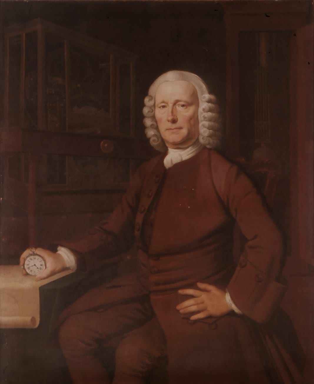
John Harrison, the carpenter from Yorkshire who devoted his working life to the mechanical solution, received total payments of £23,065 over the course of his engagement with the Board, approximately eight million dollars in today's terms. His relationship with the Commissioners was persistently adversarial: the Board demanded replication, disclosure of principles, and further trials at points where Harrison believed the prize had already been earned. H4, completed in 1759, demonstrated its accuracy on the voyage to Barbados in 1761 and confirmed it on a second voyage in 1762. Harrison received his final compensation through a parliamentary bill in 1773, after appealing directly to George III. His instruments are among the most beautiful objects produced in the eighteenth century, and his persistence against institutional resistance is a genuine and dramatic story. It is also, in the longer view, one outcome of a system that had been running since Philip II of Spain sat down with his counsellors in 1567.
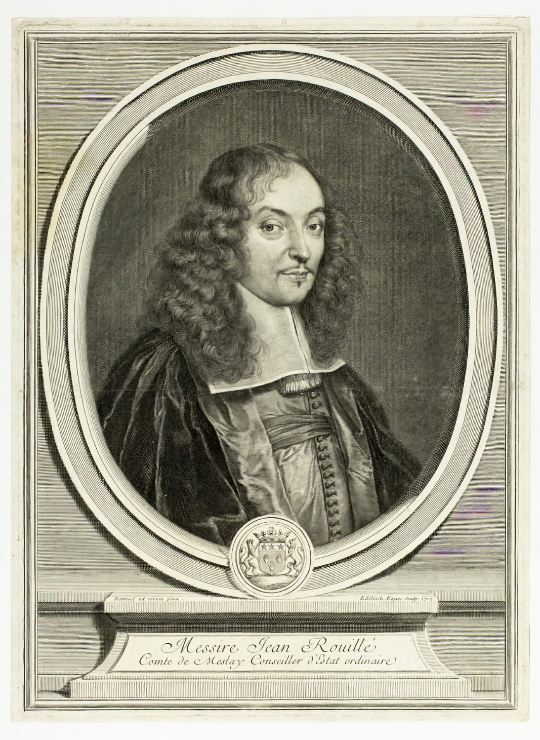
While the British Board was funding Harrison, the French Académie des Sciences was running its own parallel prize system through a bequest made in March 1714, the same year as the British Act, by Count Jean-Baptiste Rouillé de Meslay. He left 125,000 livres to the Académie, the interest to be distributed from 1720 as prizes for the best responses to questions in astronomy and navigation.
The Meslay prize operated on a different model from the governmental prizes. It was not searching for a deployable, practical solution; it was funding theoretical research across a broad domain. Questions ranged from the stabilisation of clocks at sea in 1720 to tidal mechanics in 1740, the inequalities of Saturn and Jupiter in 1748, and the satellites of Jupiter in 1766 and 1792. Leonhard Euler won multiple times, as did Daniel Bernoulli. Lagrange won for lunar libration in 1764. Pierre Le Roy, whose work on precision timekeeping the Ministry has examined in an earlier essay, won for timekeeping at sea in 1769 and again in 1773.
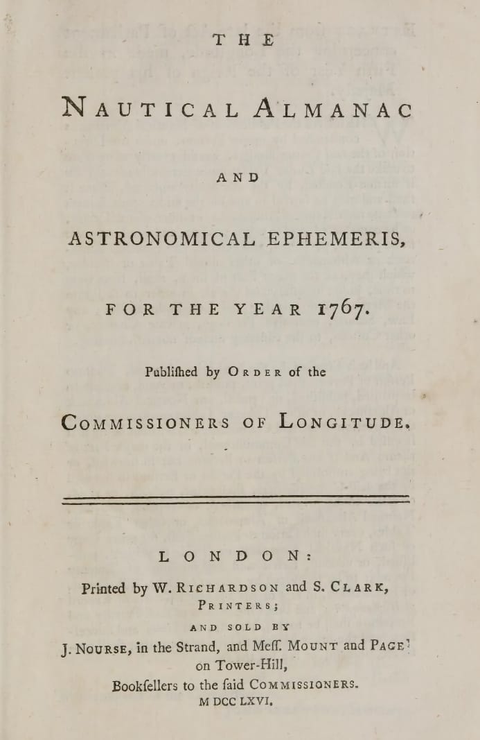
What the Meslay prize sustained was the mathematical infrastructure on which any practical longitude solution depended. Tobias Mayer's lunar tables, refined through precisely the kind of theoretical work the Académie was funding, were accurate enough that the Board of Longitude paid his widow £3,000 after his death, more than a million dollars in today's money. Nevil Maskelyne used those tables as the foundation for the Nautical Almanack, first published in 1767, which made the lunar distance method viable for navigators who could not afford a Harrison-quality chronometer. The two solutions, mechanical and celestial, were not rivals so much as parallel products of the same European system of prizes, funding, and directed research that had been running since the sixteenth century.
Dava Sobel's Longitude gave Harrison's story the shape of a heroic individual defeating an indifferent institution. That shape is not wrong, but it is partial. What the institutional record shows is that the heroic individual was the final, most visible product of a machine that had been running for a hundred and fifty years before he entered it. Thomas Axe, a Devon parish clerk with no maritime connection, had already written the accuracy threshold and the verification logic that the Board would use to judge Harrison's work. The Dutch Republic had spent 175 years and nearly forty proposals establishing what a workable longitude method would need to demonstrate in practice. Spain had run the first sustained European experiment in directed scientific prize-giving before the Dutch Republic existed as an independent state. The Académie des Sciences had spent decades funding the theoretical mathematics without which neither Harrison's chronometer nor Maskelyne's lunar tables could have been trusted.
Harrison is the most dramatic figure in this story, and his instruments remain among the most extraordinary achievements in the history of precision mechanics. But he was the product of a system, not its origin. The longitude problem was a European problem before it was a British triumph, and understanding the full architecture of the prize mechanism changes what the story is actually about.
Further Reading
Dava Sobel's Longitude (Fourth Estate, 1995) is the natural starting point and the book this essay implicitly engages with. Her narrative compression is masterly; what she set aside is what makes the story considerably larger than a single carpenter from Yorkshire.
William J.H. Andrewes (ed.), The Quest for Longitude (Collection of Historical Scientific Instruments, Harvard University, 1996) is the proceedings of a 1993 symposium and remains the most comprehensive scholarly survey of the field, with contributions covering the Spanish, Dutch, French, and British prize systems alongside technical histories of the chronometer and the lunar distance method. It is the volume that Sobel's book pointed toward but could not contain.
Rupert T. Gould, The Marine Chronometer: Its History and Development (J.D. Potter, 1923; reprinted Holland Press, 1960) is the foundational technical reference, written by the naval officer who restored Harrison's H1, H2, and H3 from serious disrepair in the 1920s and 1930s. His account of finding them is one of the stranger episodes in the history of horological conservation.
Richard de Grijs's series of papers published in the Journal of Astronomical History and Heritage, collectively titled "European Longitude Prizes," is the essential modern scholarly survey of the pre-British prize systems. The four papers, covering Spain, the Dutch Republic, Thomas Axe, and the French prizes, constitute the most thorough recent examination of this material and are the principal scholarly foundation for this essay.
María M. Portuondo, Secret Science: Spanish Cosmography and the New World (University of Chicago Press, 2009) examines the Casa de la Contratación as an institution of scientific knowledge, its role in chart-making, instrument calibration, and navigator training, and provides the institutional context in which the Spanish longitude prize operated. It is a significant corrective to the tendency to treat the Spanish effort as peripheral.
Rebekah Higgitt (ed.), Navigational Enterprises in Europe and its Empires, 1730–1850 (Palgrave Macmillan, 2015) examines the later period of the longitude problem, when the prize systems were producing results, and situates the British experience within a comparative European frame rather than treating it as the whole story.
Jonathan Betts, Marine Chronometers at Greenwich (Oxford University Press, 2017) is the authoritative catalogue of the National Maritime Museum's collection and the most thorough account of the chronometer's technical development from Harrison through the nineteenth century. For anyone who has read Sobel and wants to follow the objects themselves, this is the next step.
Maria João Ferreira and others (eds.), O Terramoto de 1755: Impactos Históricos (Livros Horizonte, 2007) addresses the archival losses systematically, though it is in Portuguese. For English-language readers, the chapter on the earthquake's cultural and institutional aftermath in Kenneth Maxwell's Pombal: Paradox of the Enlightenment (Cambridge University Press, 1995) is the most accessible treatment by a serious historian, and Maxwell's handling of what the Marquis of Pombal rebuilt and what could not be rebuilt is directly relevant to the question of what was lost in the Ribeira Palace.